DNR Asks Residents to Share Flood Photos
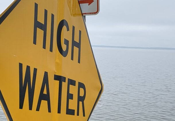
Maryland’s Department of Natural Resources recently launched the new MyCoast Maryland app that enables people to easily upload photos of flood conditions in their neighborhood during or after major rain events and tidal flooding.
The flood photos that residents share on the app help scientists at DNR and other government agencies in Maryland understand the extent of flooding in certain areas, compare pre-storm or pre-high tide flooding estimates with actual effects, and plan long-term mitigation projects to reduce flooding.
Through the app, the MyCoast photos are linked using geolocation information with data from nearby tide gauges, riverine gauges, and weather stations that include wind and precipitation information to give officials insight into the different factors that could be leading to severe flooding in specific areas. DNR urges individuals to be cautious when taking photos of floods and never risk their own safety when doing so.
Read more on the Maryland DNR website.