Coastal Flood Warning in Effect for St. Mary’s
The National Weather Service has extended the Coastal Flood Warning, which is now in effect until 10 pm this evening in St. Mary’s County.
* TIDAL DEPARTURE…2 to 3 feet above normal.
* TIMING…Within a few hours of high tides today, March 7, 2018. High tide at Point Lookout is at 5:15 AM and 5:27 pm. High tide at Piney Point is at 6:07 am and 6:46 pm. High tide at Colton’s Point is at 6:43 am and 7:22 pm.
* IMPACTS…Water is expected to cover roads on St. George Island, be in yards, and approach structures. To the east, inundation is expected at multiple marinas off St. Mary’s River, Smith Creek, and Jutland Creek. Shoreline inundation is possible elsewhere.
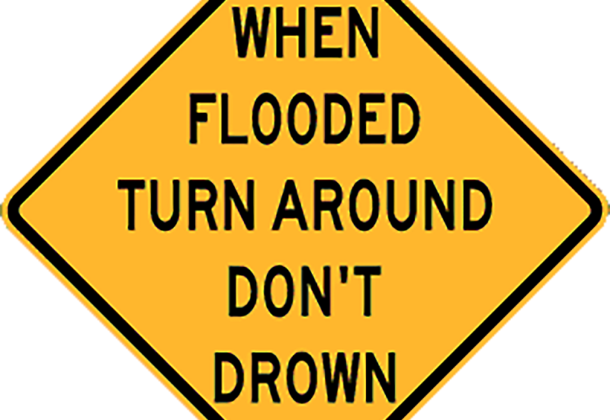
The St. Mary’s County Department of Emergency Services reminds citizens it is never safe to drive or walk into flood waters.
Each year, more deaths occur due to flooding than from any other thunderstorm related hazard.
The Centers for Disease Control and Prevention report that over half of all flood-related drownings occur when a vehicle is driven into hazardous flood water. The next highest percentage of flood-related deaths is due to walking into or near flood waters.
People underestimate the force and power of water. Many of the deaths occur in automobiles as they are swept downstream. Of these drownings, many are preventable, but too many people continue to drive around the barriers that warn you the road is flooded. A mere 6 inches of fast-moving flood water can knock over an adult. It takes just 12 inches of rushing water to carry away a small car, while 2 feet of rushing water can carry away most vehicles.
For more information on Emergency Preparedness, click here.