Nat’l Weather Service to Improve Flood Warnings
A new river gauge and collaboration between St. Mary’s County and the National Weather Service can now bring residents along the Potomac River improved tidal flood warnings.
“The more information we have helps us to better prepare for and respond to events that occur in our county,” said Bob Kelly, Director of Emergency Services & Technology.
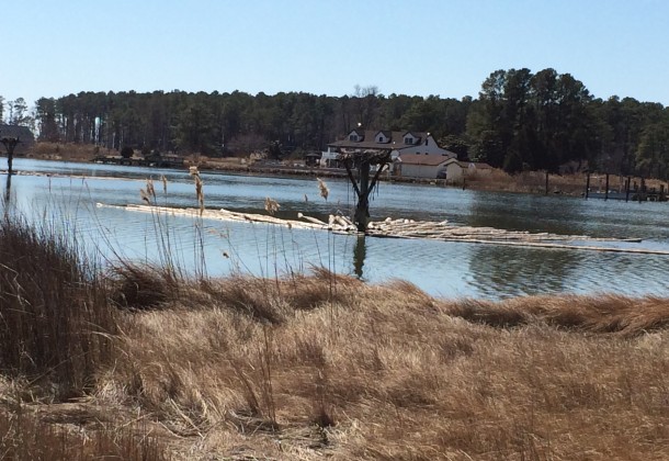
St. Mary’s County installed a tide gauge last year to measure tidal heights near St. George Island and began providing this information to the NWS. Through its SKYWARN weather spotter program, NWS also began monitoring actual impacts around the island during unusually high tides.
Other areas of the county can also be affected by flooding of tidal streams, freshwater streams, or just heavy rainfall. The NWS and St. Mary’s County have been working together to assess and catalog these impacts. Residents who witness flooding are encouraged to report it to the county or the National Weather Service. These reports will enhance knowledge of flooding throughout the county.
When NWS forecasters believe certain tide levels will be exceeded, Coastal Flood Advisories (for minor flooding) and Coastal Flood Warnings (for moderate or greater flooding) will be issued. An advisory means primarily nuisance flooding of yards or driveways is expected or occurring. A warning means significant flooding that could affect life, property, and ability to travel is expected.
“We encourage residents and property owners to have multiple ways to receive coastal flood advisories and warnings, whether on a mobile device, through local media, or NOAA Weather Radio,” said Jason Elliott, Senior Service Hydrologist, Baltimore/Washington Weather Forecast Office. “Providing individuals with actionable information to help them protect life and property is key to NOAA’s effort to build a Weather-Ready Nation.”
The National Weather Service’s Baltimore/Washington Forecast Office, located in Sterling, Va., is the primary source of weather and water data, forecasts and warnings for about 10 million people in the District of Columbia, 13 Maryland counties, 23 Virginia counties, and eight West Virginia counties.
Visit weather.gov/washington and join the NWS on Facebook and Twitter.
Additional Web Resources: St. Mary’s County Preparedness website and NWS’s website for water level observations and forecasts.